Workshop Licence
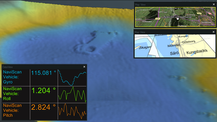
The optimal tool if you wish to have a test platform for NaviScan/NaviPac Pro at your company’s premises.
€ 7.00/day€ 433.00/year€ 1,300.00/permanent-
NaviScan
Acquire data from all major pipe/cable trackers and sonars on the market.
€ 42.00/day€ 2,600.00/year€ 7,800.00/permanent -
NaviSuite processing with pipe/cable inspection
13-16 Jan 2026 Remote instructor-led training
Microsoft Teams | UTC+1
EnglishSetup and practical usage of the relevant NaviSuite software applied for processing with pipeline inspection.
€ 660.00/seat -
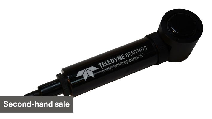
Workhorse Navigator Doppler Velocity Log 1200 kHz
Teledyne RDI’s highly acclaimed Doppler Velocity Log (DVL) provides precise velocity and altitude updates for a wide variety of underwater tasks.
-
NaviSuite navigation and acquisition
2-5 Dec 2025 Remote instructor-led training
Microsoft Teams | UTC+1
EnglishSetup and usage of the relevant NaviSuite software applied for navigation and acquisition thus including NaviPac Pro, NaviScan and patch-testing in NaviEdit and NaviModel.
€ 660.00/seat -
NaviSuite processing with pipe/cable inspection
4-7 Nov 2025 Remote instructor-led training
Microsoft Teams | UTC+1
EnglishSetup and practical usage of the relevant NaviSuite software applied for processing with pipeline inspection.
€ 660.00/seat -
BV3100 Boat Mount FLS with pan & tilt
Teledyne BlueView's BV3100 is ideal for search and recovery operations, dive team situational awareness and diver vectoring. It is also an effective means of harbour bottom inspection as well as diver and underwater IED detection.
-
NaviEdit Lite
Editing of single source output and positioning data such as data from single beam echo sounders and magnetometers, as well as positioning solutions.
€ 14.00/day€ 867.00/year€ 2,600.00/permanent -
NaviSuite navigation and acquisition
7-10 Oct 2025 Remote instructor-led training
Microsoft Teams | UTC+1
EnglishSetup and usage of the relevant NaviSuite software applied for navigation and acquisition thus including NaviPac Pro, NaviScan and patch-testing in NaviEdit and NaviModel.
€ 660.00/seat -
NaviEdit Pro
Editing of overall survey settings, raw sensor data and geodetic settings through import of various types of laser and sonar data, including multi-beam echo sounders and side-scan sonars.
€ 56.00/day€ 3,467.00/year€ 10,400.00/permanent -
NaviSuite processing with pipe/cable inspection
9-12 Sep 2025 Remote instructor-led training
Microsoft Teams | UTC-5
PortugueseSetup and practical usage of the relevant NaviSuite software applied for processing with pipeline inspection.
€ 660.00/seat -
NaviSuite processing with pipe/cable inspection
4-7 Aug 2025 Remote instructor-led training
Microsoft Teams | UTC+1
EnglishSetup and practical usage of the relevant NaviSuite software applied for processing with pipeline inspection.
€ 660.00/seat -
NaviModel Producer
Full software solution for data processing, cleaning, modelling and reporting.
€ 77.00/day€ 4,767.00/year€ 14,300.00/permanent -
NaviPac Lite
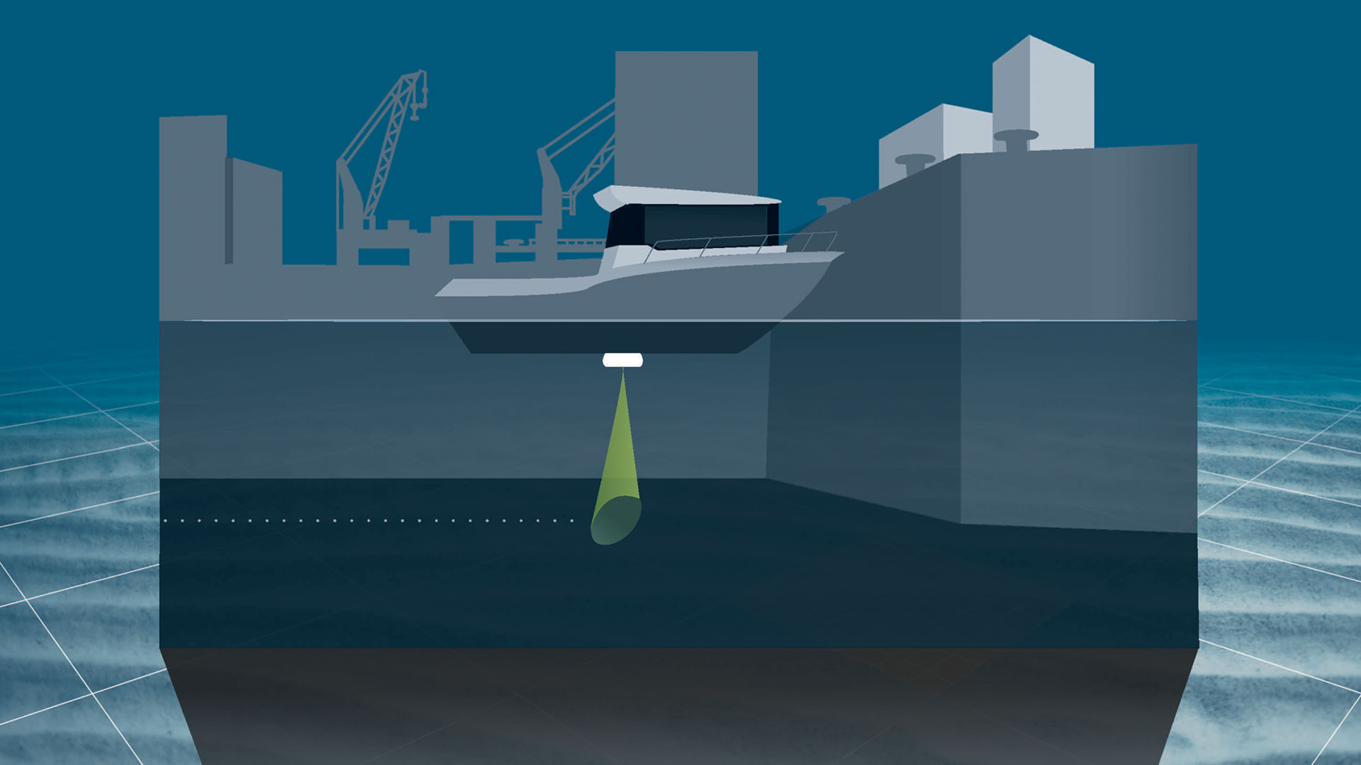
Navigation and positioning software tailored to vessel-based surveys with a single beam echo sounder.
€ 21.00/day€ 1,300.00/year€ 3,900.00/permanent -
NaviPac Pro
The most elaborate NaviPac variant for navigation information and positioning calculations.
€ 109.00/day€ 6,758.00/year€ 20,275.00/permanent -
NaviSuite – Onboard Computer
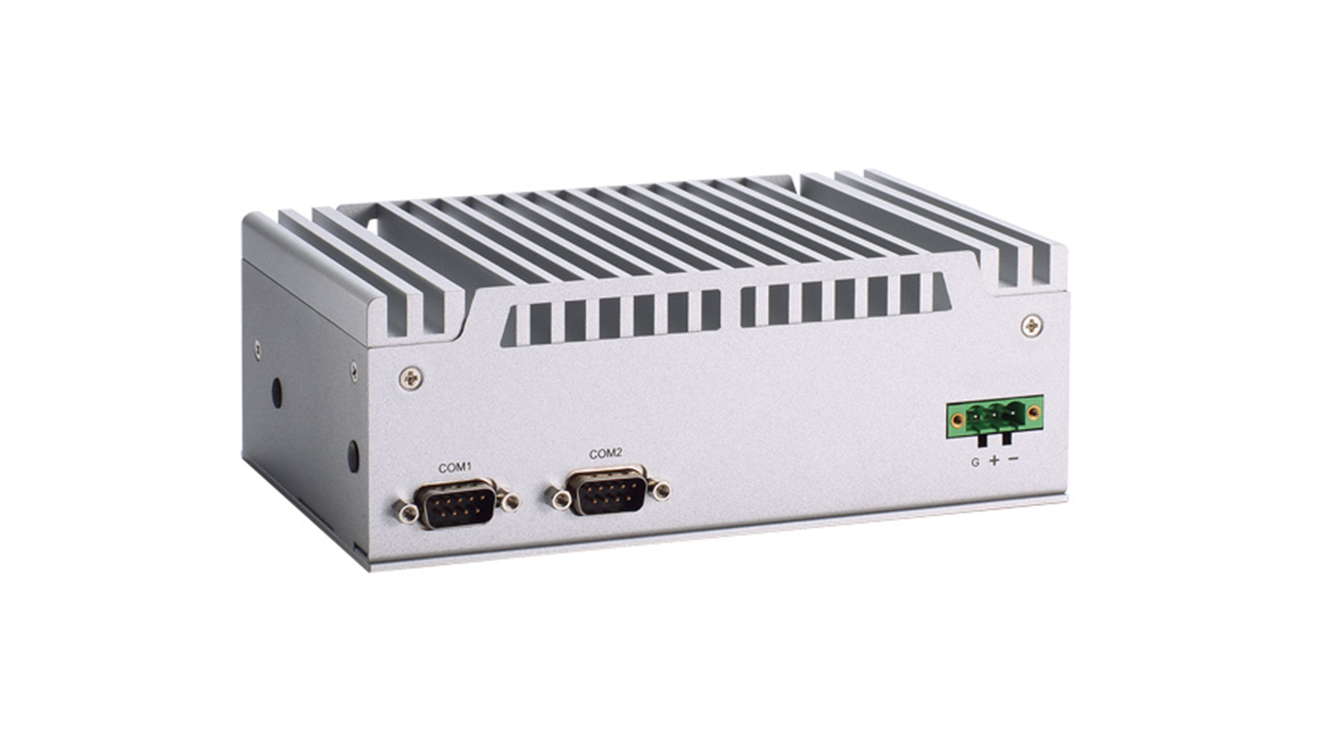
Run your NaviSuite software products onboard your AUV/USV with this data acquisition and processing platform.
€ 2,725.00/unit -
Workflow Manager – Server
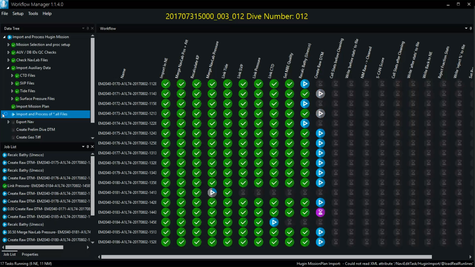
Configurable workflow process automation tool allowing for automation of the small steps you normally go through when processing subsea data.
€ 13,000.00/year -
NaviSuite Ponto
Affordable software dedicated to single beam echo sounder hydrographic data acquisition and processing.
€ 30.00/day€ 1,850.00/year€ 5,550.00/permanent -
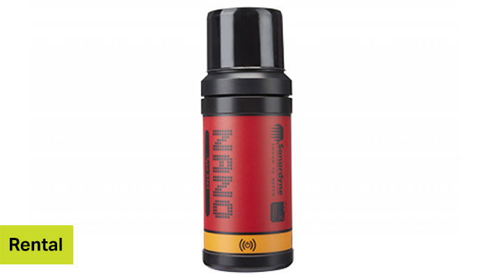
Nano transponder with depth sensor
Sonardyne’s smallest USBL transponder with compatibility with the Ranger 2 USBL topside systems; Micro, Mini and Standard.
-
NaviSuite Kuda Pro + Processing
Unmatched software with deep feature list for shallow water data acquisition & processing – Supports all relevant instruments – Unlimited remote displays – Tracking of a subsea object.
€ 147.00/day€ 9,083.00/year€ 27,250.00/permanent -
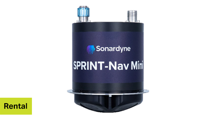
SPRINT-Nav Mini (Navigator)
The SPRINT-Nav Mini is the world’s smallest hybrid acoustic-inertial technology. The unit comes with either top or sidewall connectors.
-
Workhorse Navigator Doppler Velocity Log 1200 kHz
Teledyne RDI’s highly acclaimed Doppler Velocity Log (DVL) provides precise velocity and altitude updates for a wide variety of underwater tasks.
-
Altimeter
Altimeter for the EIVA ScanFish ROTV range.
-
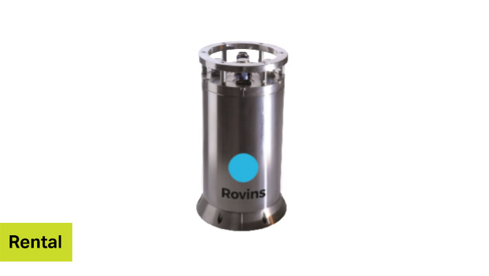
Rovins
iXblue’s Rovins is a survey-grade full-featured Inertial Navigation System (INS) for water depths up to 3,000 m.
-
NaviSuite Kuda Pro
Unmatched software with deep feature list for shallow water data acquisition – Supports all relevant instruments – Unlimited remote displays – Tracking of a subsea object.
€ 80.00/day€ 4,950.00/year€ 14,850.00/permanent -
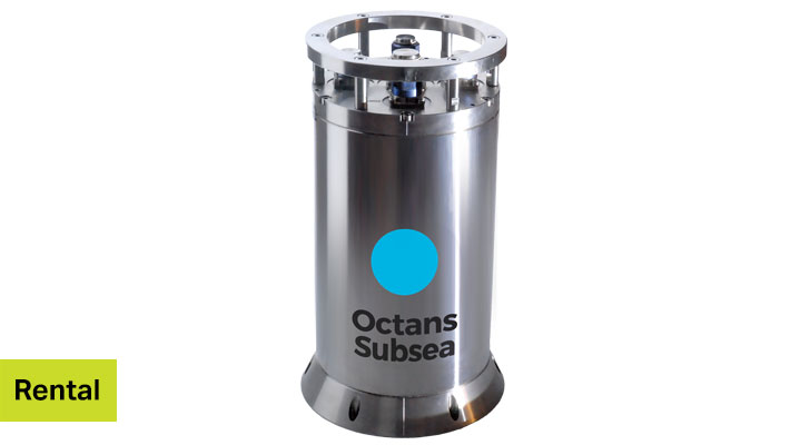
Octans Subsea
Octans 3000 is a subsea survey-grade gyrocompass and complete motion sensor for water depths up to 3,000 m.
-
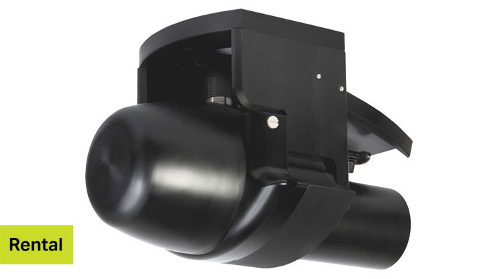
NORBIT iWBMSh
This compact, high resolution, tightly integrated, broadband multi-beam sonar solution from NORBIT offers a curved array, a real-time sound velocity profiler and GNSS/INS that is suited for demanding environments (Applanix OceanMaster).
-
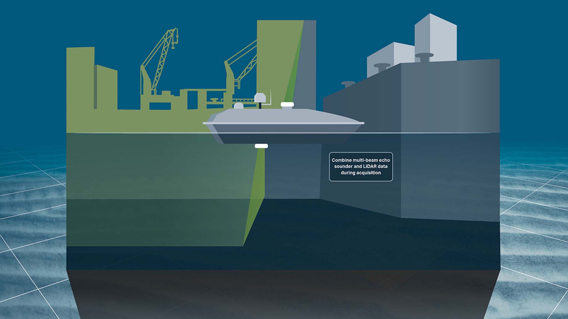
NaviSuite Kuda Core + Processing
Unmatched software with deep feature list for shallow water data acquisition and processing – Entry-level variant – Supports multi-beam echo sounders, lasers and cameras.
€ 70.00/day€ 4,333.00/year€ 13,000.00/permanent -
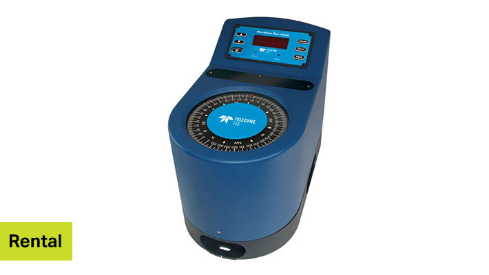
Meridian Surveyor gyro
The higher performance gyrocompass, the Meridian Surveyor, provides a dynamic heading accuracy of 0.20° secant latitude RMS and a static heading accuracy of 0.05° secant latitude RMS.
-
Sonic 2024
The Sonic 2024 is the world’s first broadband-wideband high-resolution shallow water multi-beam echo sounder.
-
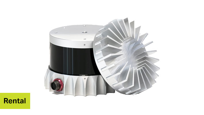
OS1
The OS1 offers an industry-leading combination of price, performance, reliability, size, weight and power. It is designed for indoor/outdoor all-weather environments and a long lifetime. As the smallest high performance LiDAR on the market, the OS1 can be directly integrated into vehicle facias, robots, drones and fixed infrastructure.
-
NaviSuite Kuda Core
Unmatched software with deep feature list for shallow water data acquisition – Entry-level variant – Supports multi-beam echo sounders, lasers and cameras.
€ 40.00/day€ 2,475.00/year€ 7,425.00/permanent -
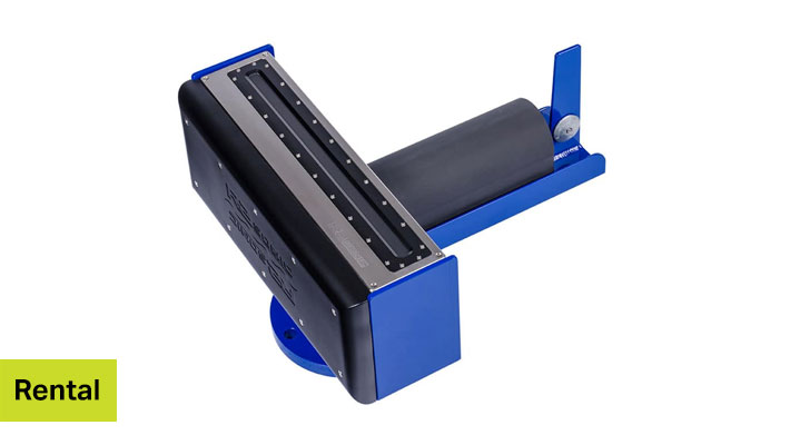
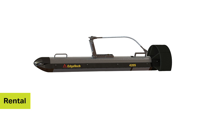
Side Scan Sonar 4205
The 4205 series is a versatile sidescan sonar system that can be configured for almost any survey application from shallow to deep water operations.
-
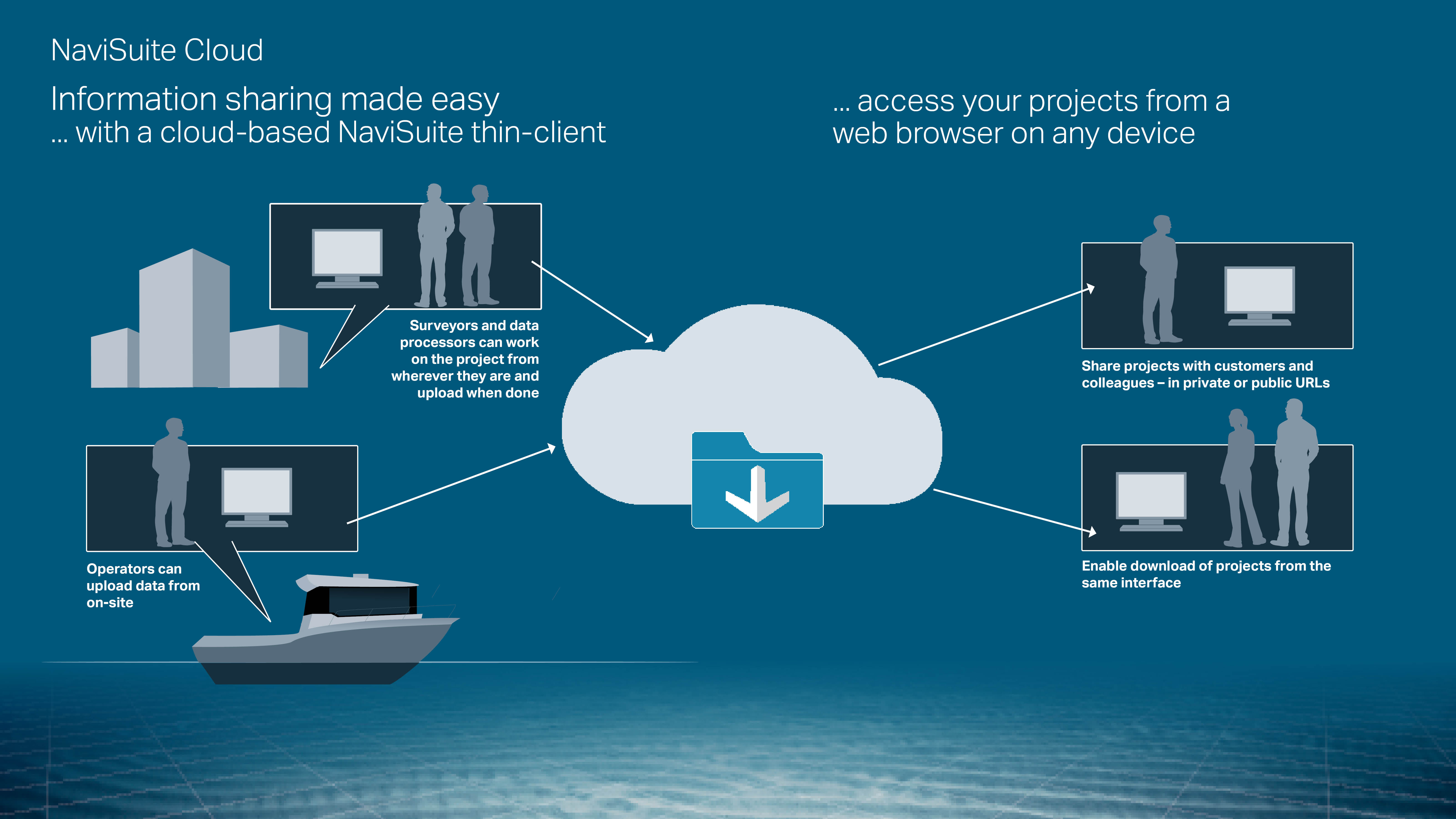
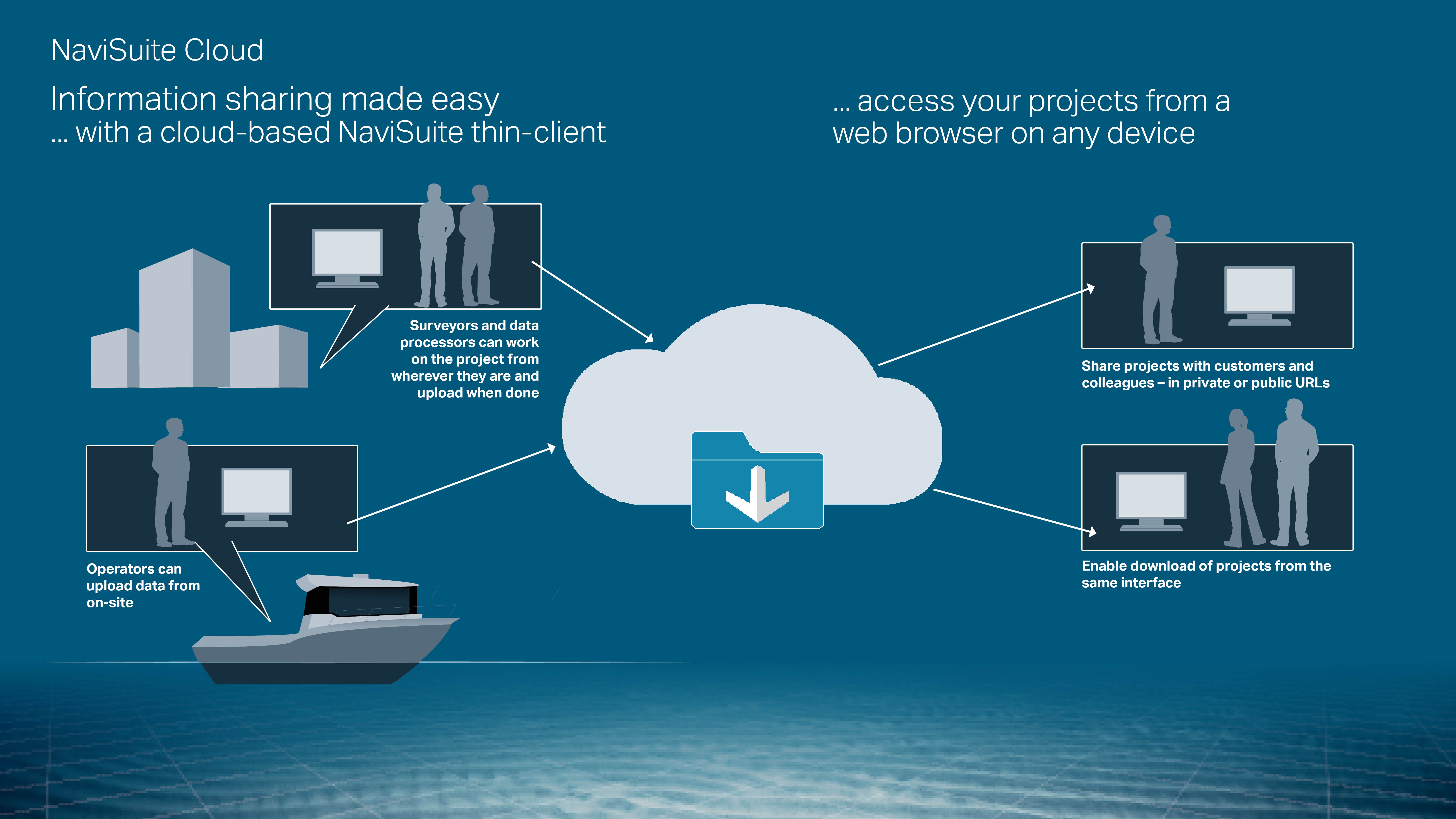
NaviSuite Cloud Viewer – 500 GB
Cloud-based thin client for sharing and viewing NaviSuite survey and inspection projects – Navigate 3D visualisations from a web browser – Share data easily and securely
€ 7,125.00/unit -
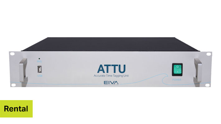
ATTU-24
Accurate time tagging for improved survey results -
NaviSuite Cloud Viewer – 200 GB
Cloud-based thin client for sharing and viewing NaviSuite survey and inspection projects – Navigate 3D visualisations from a web browser – Share data easily and securely
€ 4,275.00/unit -
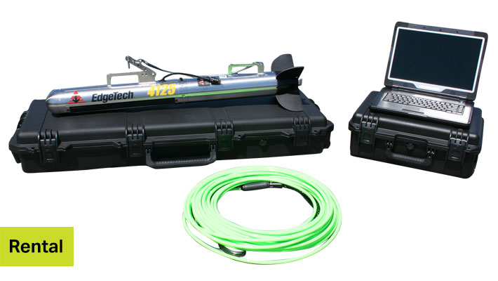
Side Scan Sonar 4125i
EdgeTech’s 4125i sidescan sonar system comes with a portable topside unit and was designed with both the Search & Recovery (SAR) and shallow water survey communities in mind.
-
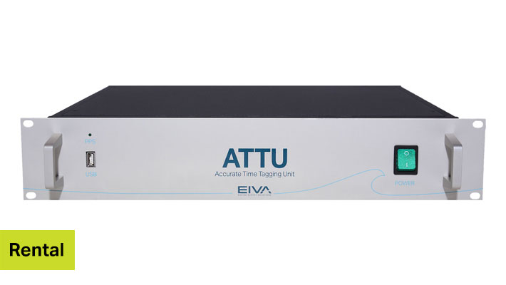
ATTU-16
Accurate time tagging for improved survey results -
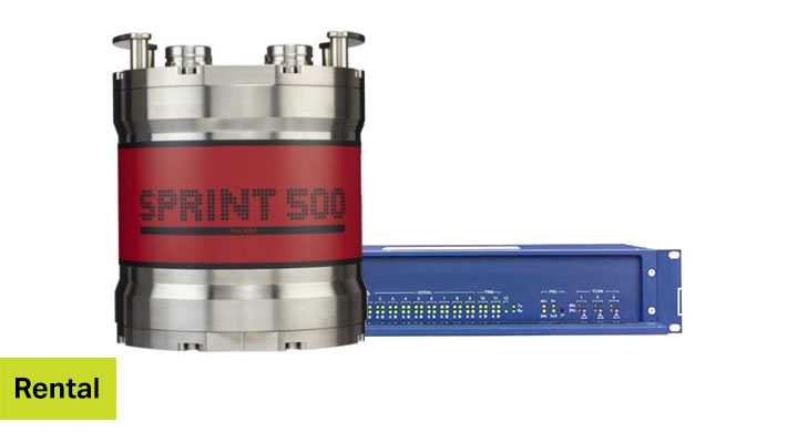
SPRINT 505 4k System
SPRINT is an acoustically aided Subsea Inertial Navigation system from Sonardyne for subsea vehicles and is depth rated to 4,000 m.
-
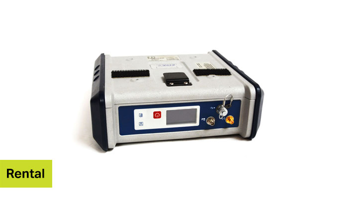
ProFlex 500
The ProFlex 500 is a positioning solution that delivers state-of-the-art RTK features in a rugged, highly integrated GNSS receiver design.

To use this site, please enable javascript