
Key features and benefits

References
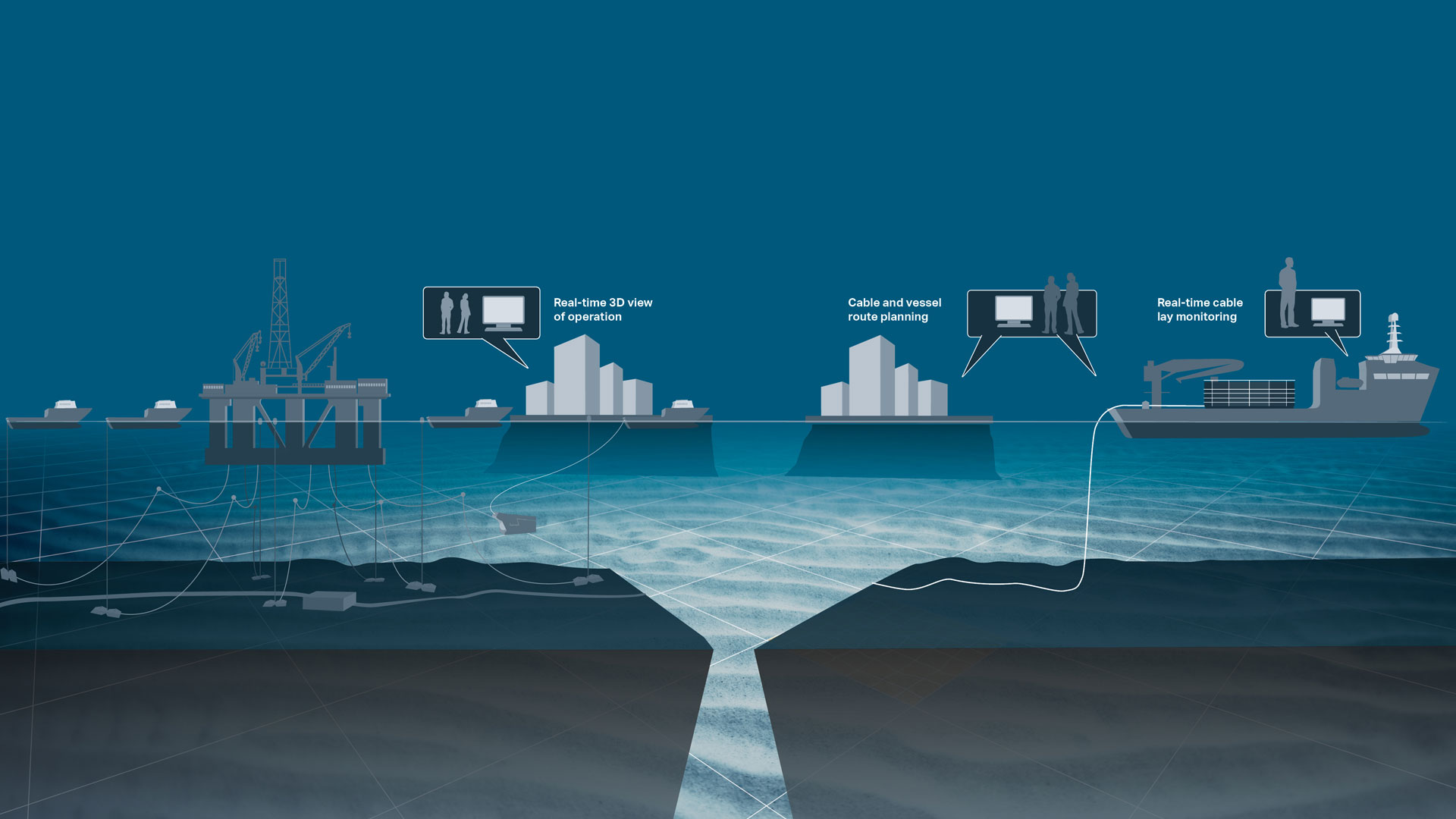
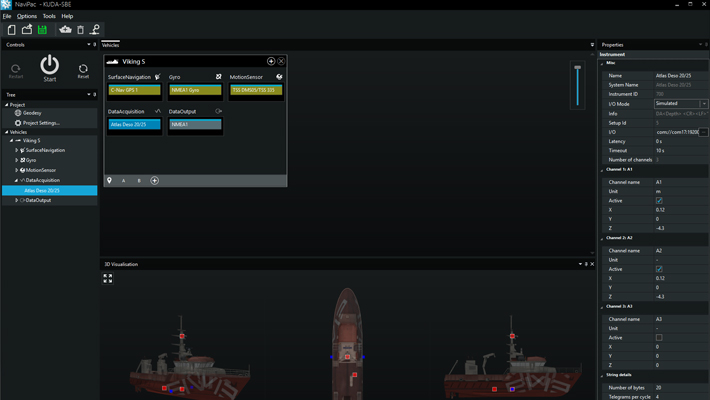
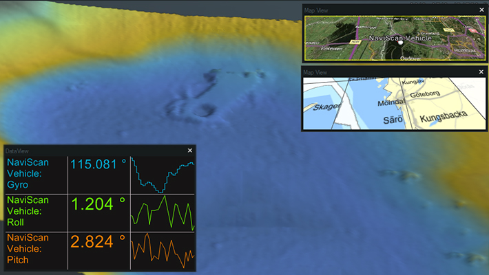
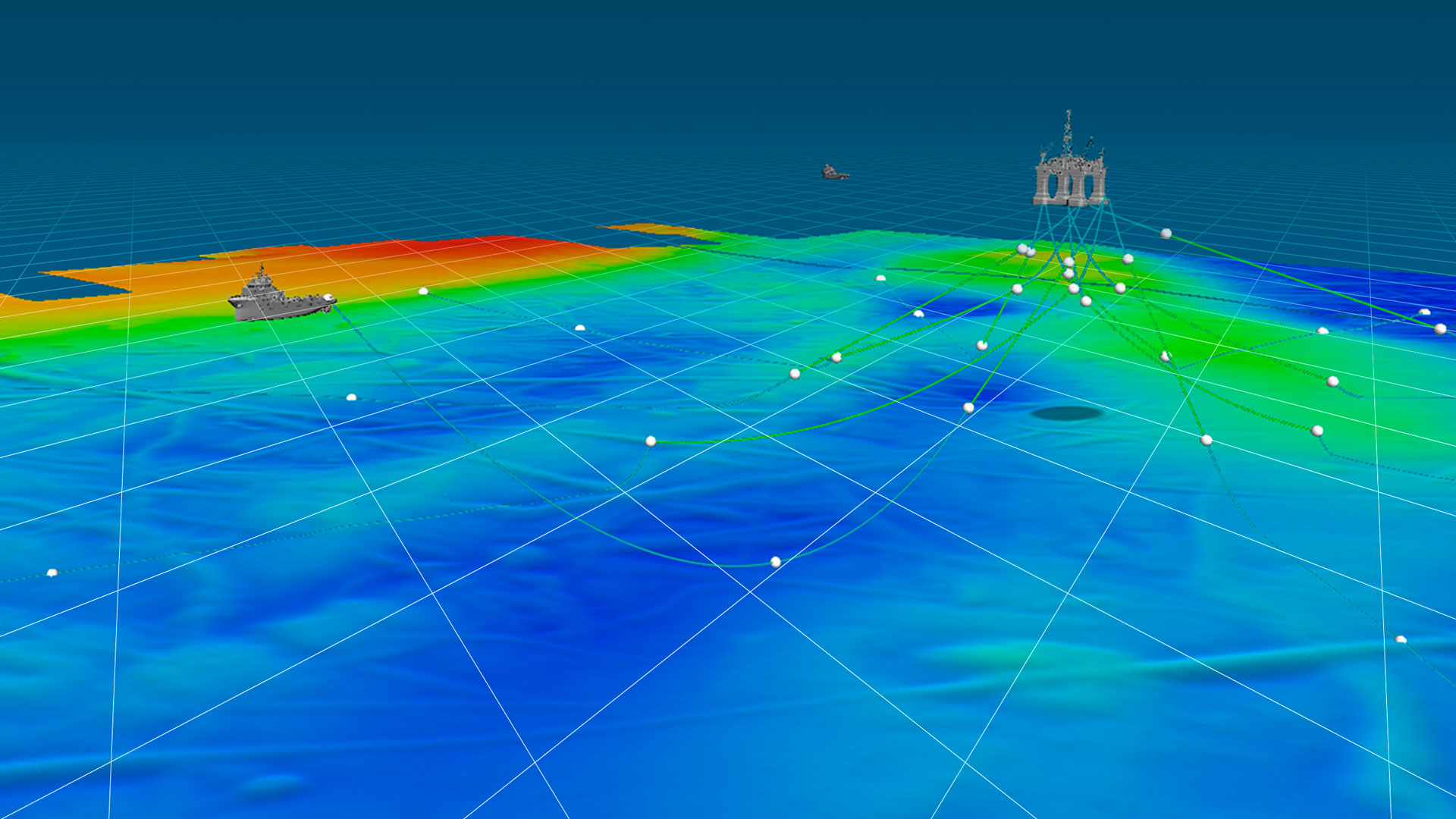
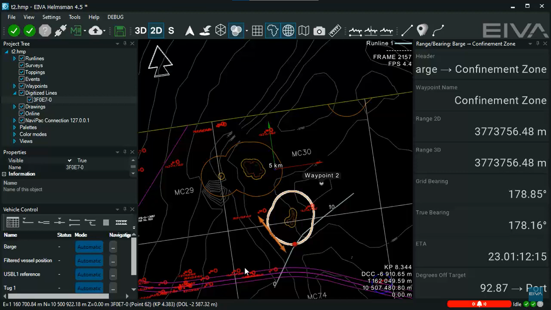
NaviPac offers advanced and intuitive tools for navigation and surveys, helping customers within survey and constructions industries.
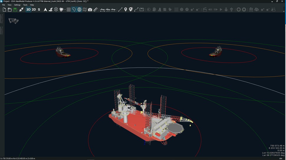
NaviModel references
'This past season I have been using NaviPac 4.5 for surveying and I more than approve of this latest version! NaviPac is truly the best navigation and positioning software on the market. As a surveyor, there are many tools and features I love to use in NaviPac. A quick tip for other NaviPac users, I have saved time on my tasks by configuring shortcuts to quickly access the tools I use most.'
Jeogan NascimentoFreelance online surveyor and survey engineer-
Optional extra services and special offers
EIVA offers a number of services for our NaviSuite software users.
Optional extra services and special offers
Get the most out of your software
EIVA offers a number of services for our NaviSuite software users. These include:
- Access to our self-service licence administration and purchase portal, My EIVA
- eLearning, virtual and classroom training
- Software maintenance and 24/7 support programme (Comes free of charge for subscription licences – Learn about the different licence types and the maintenance and support programme)
- Custom development
- Mobilisation/installation – on-site or remote assistance
- Dongle replacement programme for lost or broken dongles for permanent licences
Also, we have a number of special offers:
Product comparison
Related products
-
NaviSuite Beka
Efficient software solution for rig move, anchor/riser handling and FPSO monitoring
€ 144.00/day€ 8,875.00/year€ 26,625.00/permanent -
NaviPac Lite
Navigation and positioning software tailored to vessel-based surveys with a single beam echo sounder.
€ 22.00/day€ 1,367.00/year€ 4,100.00/permanent -
NaviPac Pro
The most elaborate NaviPac variant for navigation information and positioning calculations.
€ 115.00/day€ 7,100.00/year€ 21,300.00/permanent -
NaviPac Single User
Navigation and positioning software offering all the features of NaviPac Pro, limited to a single network/remote client and a single subsea object.
€ 55.00/day€ 3,417.00/year€ 10,250.00/permanent -
Rig move and tug management option for NaviPac Pro
The Rig move and tug management option for NaviPac Pro is a planning and real-time solution for rig moves, anchor handling and tug boat control.
€ 38.00/day€ 2,367.00/year€ 7,100.00/permanent