
The aim of this module is to introduce the learner to the new very basic concept in geodesy – introducing how to work in real world coordinates and map projections (as the NaviSite software does) and the concept of mapping the two.
The module covers the following topics, amongst others:
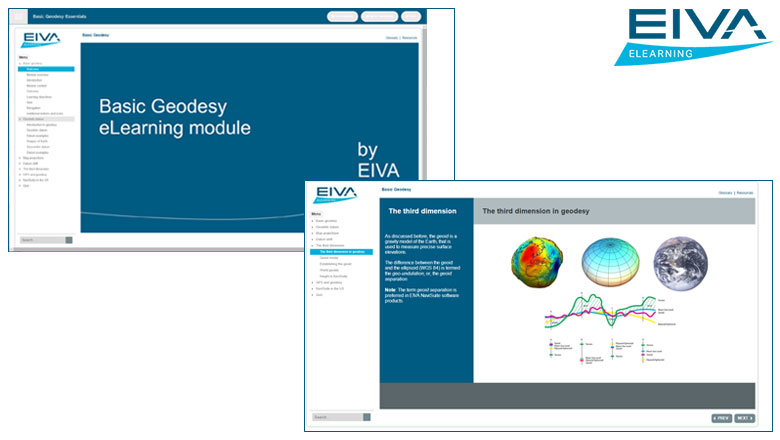
• Geodetic Datum – mathematical 3D shape of the earth
• Projections – how to map the shape on a flat piece of paper
• How to shift between datums – transformation, rotation and scale
• The height component – local zero points
• GNSS/GPS – fixed and time dependent shifts
• Special case – USA, NADCON & State Planes
• The module ends with a quiz
Estimated duration: 2-3 hours, including a quiz after which you can print a certificate with your score.
Please note: This in no way must be considered as in depth knowledge about geodesy – it is an introduction to the minimum concept used in NaviSuite.

NaviSuite eLearning
Want to learn more?
- Available modules
- Releases in the coming months
- Modules to come