Fast-track your sub-bottom imaging setup
Discover EIVA’s new sensor frame allowing for eBOSS data integration and mission-ready survey configurations
Presented by: Martin Kristensen
VP of Product Management – Hardware
Guest speaker: Rick Babicz
Director at EdgeTech
Co-pilot: Morten Andersen
Electronic Engineer
This webinar is held twice, so you can attend when it suits you. The content of the webinar will be the same both days. Click on one of the following links to sign up.
Date: 19 November from 09:00 – 10:00 AM, UTC+1
19 November from 16:00 – 17:00 PM, UTC+1
Discover how EIVA’s new Sub-bottom Imaging Frame combines an EdgeTech eBOSS profiler with magnetometers and high-end navigation to come together in a robust, low-drag frame that’s built for stability and precision.
You’ll get an inside look at how the fully integrated ScanFish Katria ROTV (remotely operated towed vehicle) and NaviSuite software streamline operations with mission-ready configurations – enabling you to focus on execution and data quality, not setup.
Whether you're exploring new project approaches or seeking operational simplicity, this session will help you assess the strategic advantages of EIVA’s solution.
Why attend?
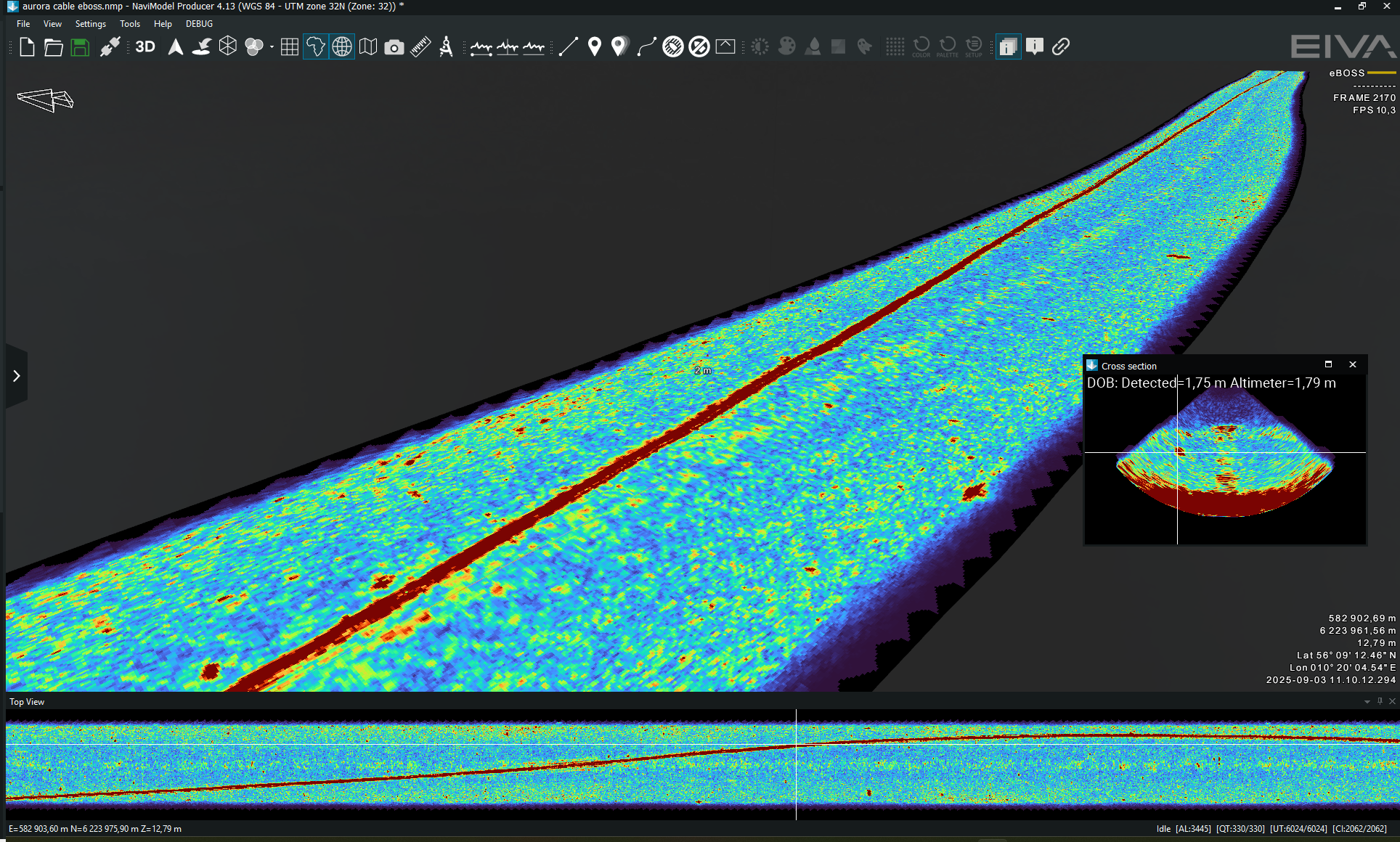
- The eBOSS profiler is gaining momentum across the industry - in this webninar, EIVA and EdgeTech reveal how integrated eBOSS data and 3D sub-bottom imaging support more informed, detail-rich decision-making in survey operations
- See how EIVA's system reduces complexity and cost while improving data reliability
- Gain insights from our hardware experts and explore real-world data workflows in the NaviSuite 3D data visualisation and modelling solutions Navimodel
- Duration: 1 hour incl Q&A sessions
- Sign up by clicking the link on the time you wish to attend listed above
About EIVA
EIVA is a Danish engineering company with over 45 years’ experience in development and delivery of solutions to offshore and shallow water engineering and survey industries.
We provide software, equipment, and integrated system solutions to maritime players around the world, delivering proven and reliable tools to support everything from oceanography and hydrographic surveying to offshore construction, cable laying, rig operations and more.