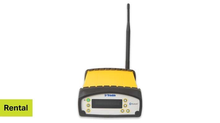
The Trimble SPS461 is a flexible, modular, GPS Heading receiver that delivers precise heading and sub-meter horizontal positioning accuracy for marine and OEM applications. With Ethernet and browser interface provides remote access over the Internet or by cable for data and configuration.
Use RTCM DGPS corrections over a radio link from a local reference station or over a cellular connection from an Internet-based reference station.
Use the integrated Bluetooth wireless technology for cable-free configuration and operation with a computer or cell phone.
Configuration and monitoring interface through the following methods:
- Web interface
- Networked or peer-to-peer Ethernet
- Integrated display and keyboard
Features:
- Easy-to-use menu system for rapid configuration and status checking
- Rugged, weatherproof construction with an IP67 environmental rating
- –40 °C to +65 °C (–40 °F to +149 °F) operating temperature range
- 11 V DC to 28 V DC input power range, with over-voltage protection
- Power over Ethernet (PoE)
- Capable of rover operation with an Internet-based reference station
- RoHS compliant
- 1 pulse-per-second (1PPS) output (cable P/N 60789-00 required)
- 72-channel L1 C/A Code, L1/L2 Full Cycle Carrier GPS receiver
- OmniSTAR VBS service capability
- 4-channel WAAS (Wide Area Augmentation System), EGNOS (European Geo-Stationary Navigation System), and MSAS Satellite-Based Augmentation (SBAS) compatible
Included in the system is the GNSS receiver and two antennas w. 10m of cable each.
